Skeena River to Prince Rupert, BC
Traditional territory of the Tsimshian and Tlingit
Clear blue skies
The last 100 kilometres towards the mouth of the Skeena River were flat, downriver and full of sunshine. The highway for the most part fits in between the river and the railway, and a couple of times a train went by, filling the valley with the soft rumbling of another shipment of cargo headed towards the rest of Canada.
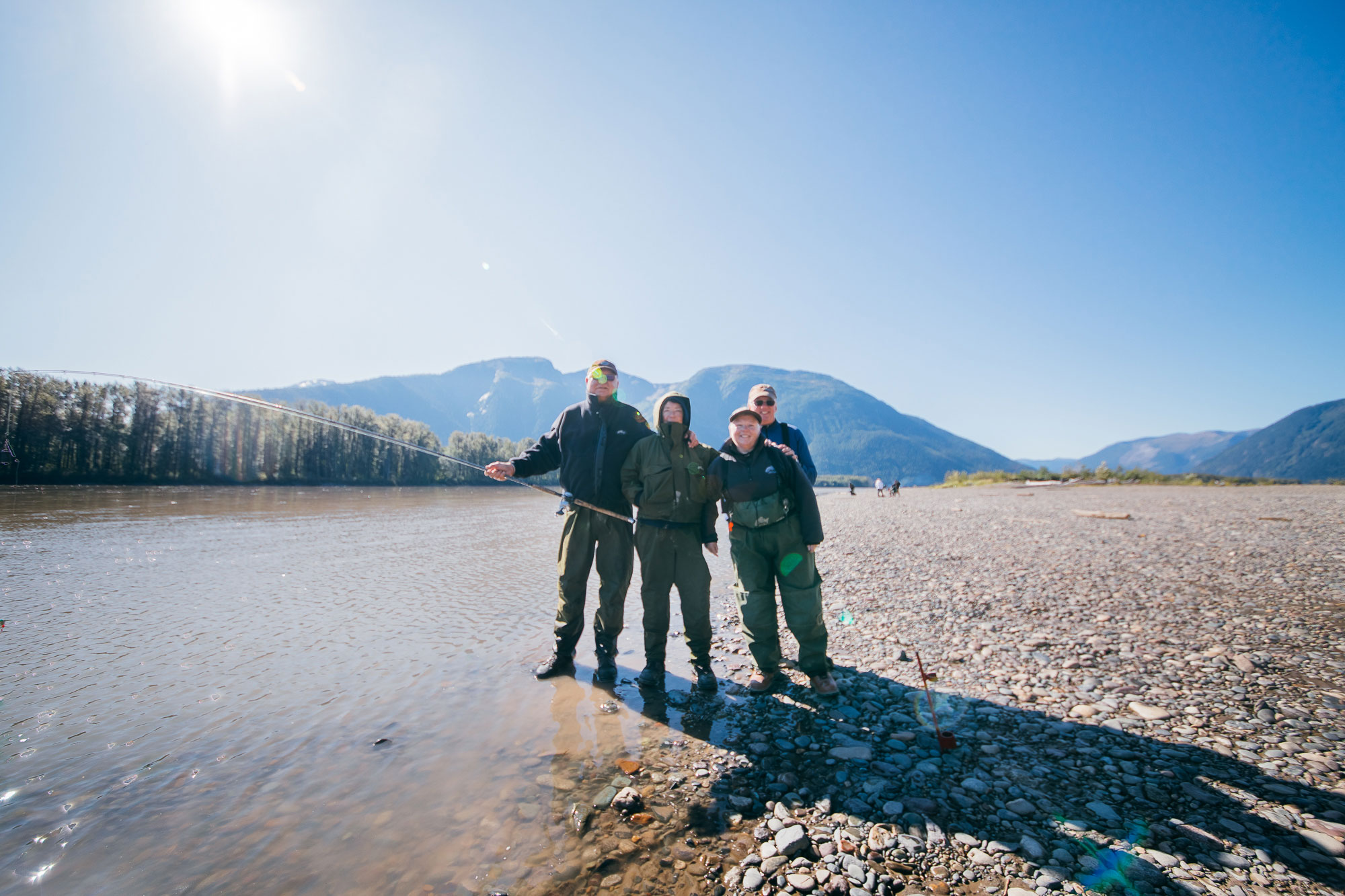
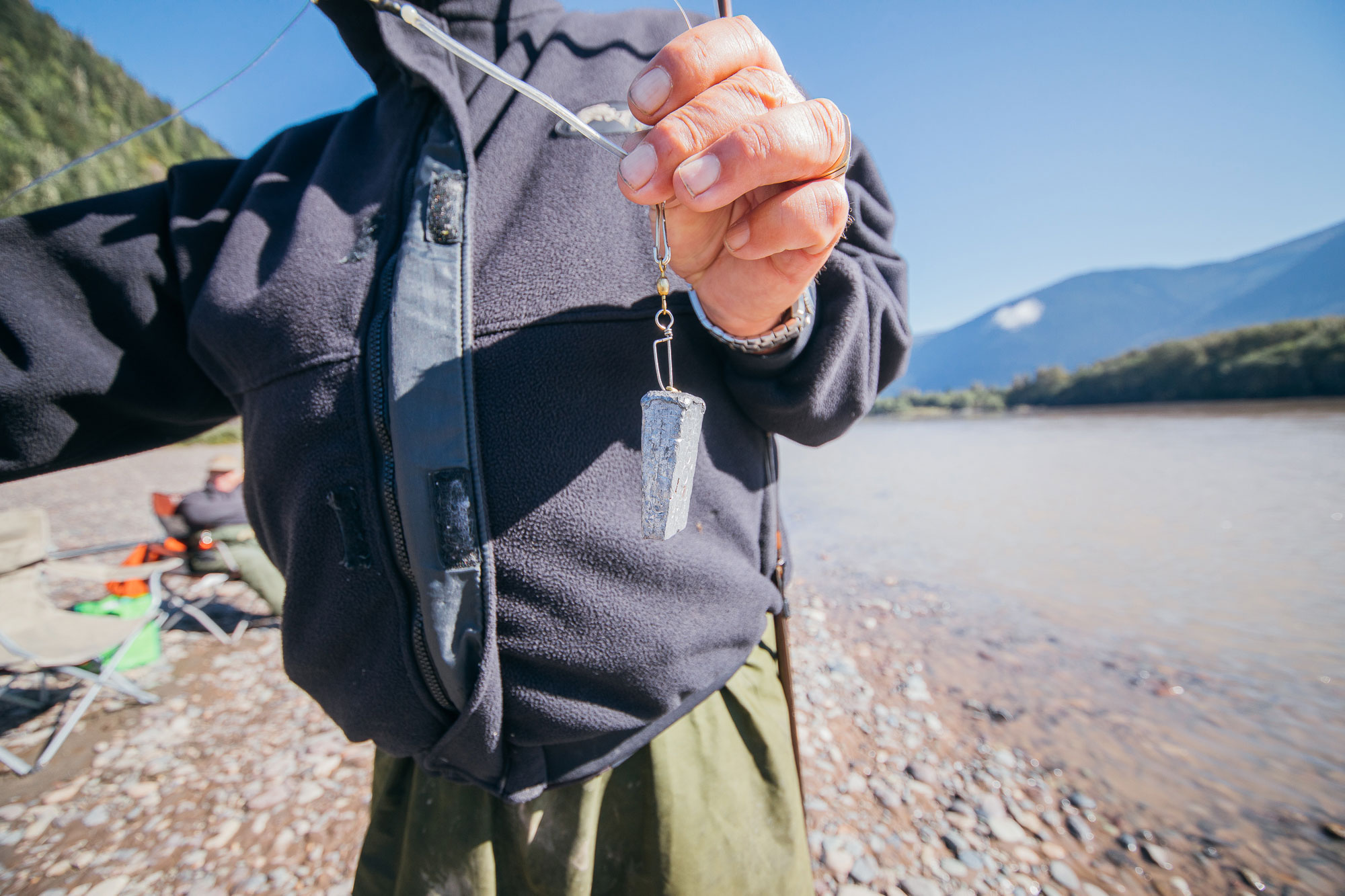
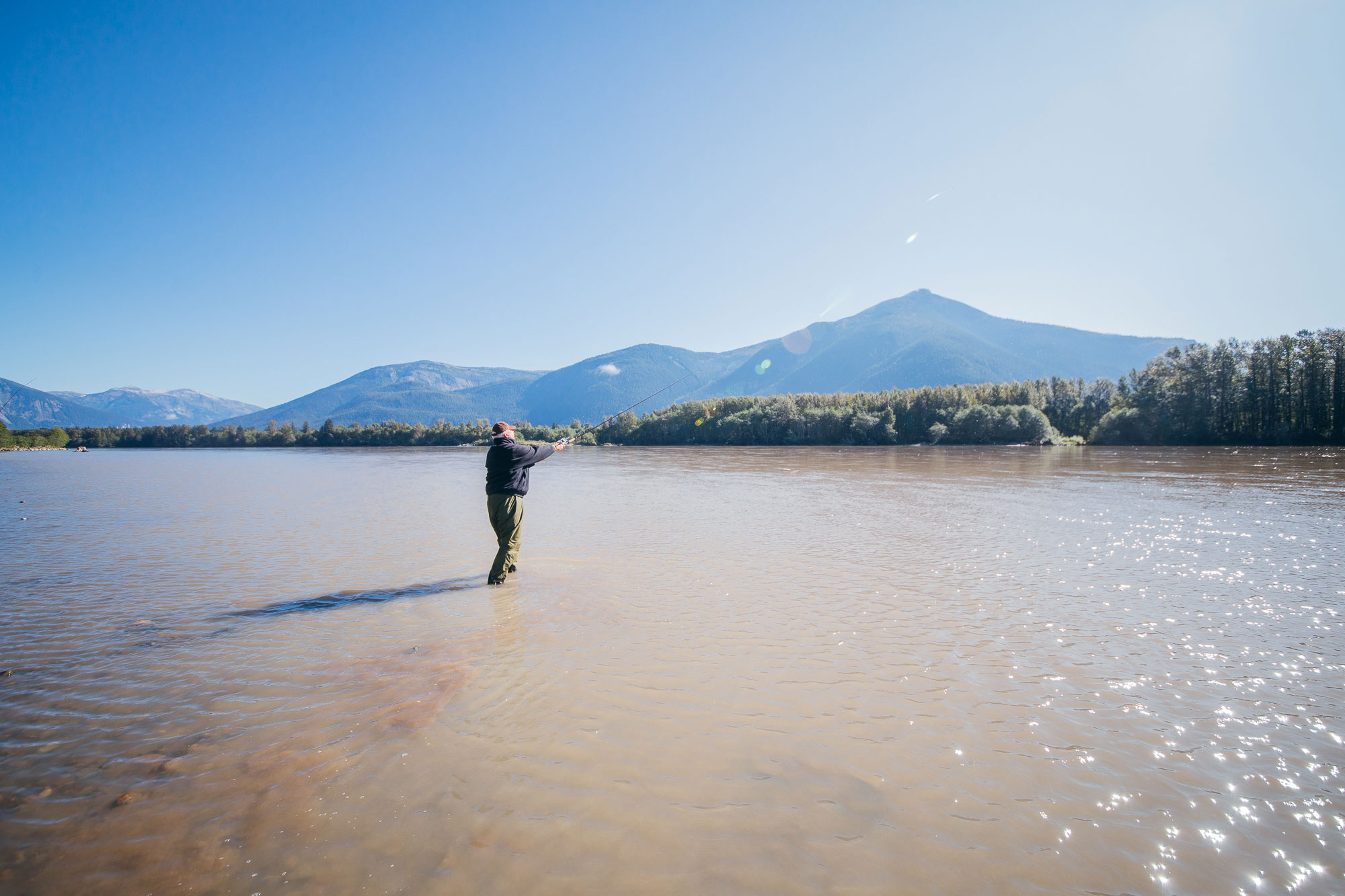
I stopped near Polymar Creek to meet some people fishing. I had to walk barefoot through the Skeena River to get to them, so I was thankful for the warm sunshine above me. They were having a great day. Not great fishing. The huge rainstorm from back when I was in Kitwanga had muddied the tributaries and Skeena so that the salmon couldn’t really see any bait and therefore couldn’t be caught very effectively. Anyway, I learned about bar fishing which was totally interesting and I hope the water clears up soon for them.
I didn’t take any photos of it but at the junction of Port Edward and Prince Rupert the highway turns north on a bridge across a bit of water; and after coming across one of the headlands above the Skeena, this was the first glimpse of the Pacific Ocean. The highway is going downhill towards the water, veering into the bridge. Along with the momentum and cool afternoon air was the brightest setting sun I’ve ever seen and the sudden smell of salt on the wind. It was a really beautiful moment. I still write down the best part of every single day, and that was one of them.
Now here in Prince Rupert, catching up on some writing and getting ready for a ferry to Skidegate in a few days. I realized all of a sudden that I’m at the end of my journey across mainland Canada, which started more or less in North Sydney, Nova Scotia. From here on out it’s islands and distant coastline until Vancouver in the south. Onwards.